
Surveys and measurements
A survey is a technical process aimed at collecting geometric and dimensional data of an existing building or land. This is performed for purposes such as planning restoration interventions, expansions, cadastral registration and subdivision.


The services offered by LetsDesigns:
Topographic Surveys

Topographic surveying is a technique used to accurately measure and represent the Earth's surface.
Using tools such as GPS, laser scanners, and drones, data is collected to create maps, 3D models, and layouts.
Essential for construction projects, urban planning, and infrastructure development, it ensures precise and reliable results.
Click HERE to find out more.
Laser Scanner Survey
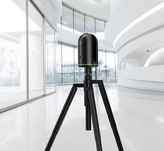
The 3D Laser Scanning service provides an advanced solution for surveying and mapping physical spaces with utmost precision.
Using cutting-edge technology, we capture millions of data points in just moments, creating detailed and highly accurate 3D models.
Ideal for architecture, engineering, and heritage preservation, 3D Laser Scanning transforms the complexity of the physical world into precise digital data, ready for analysis, design, and documentation.
Click HERE to find out more.